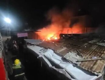
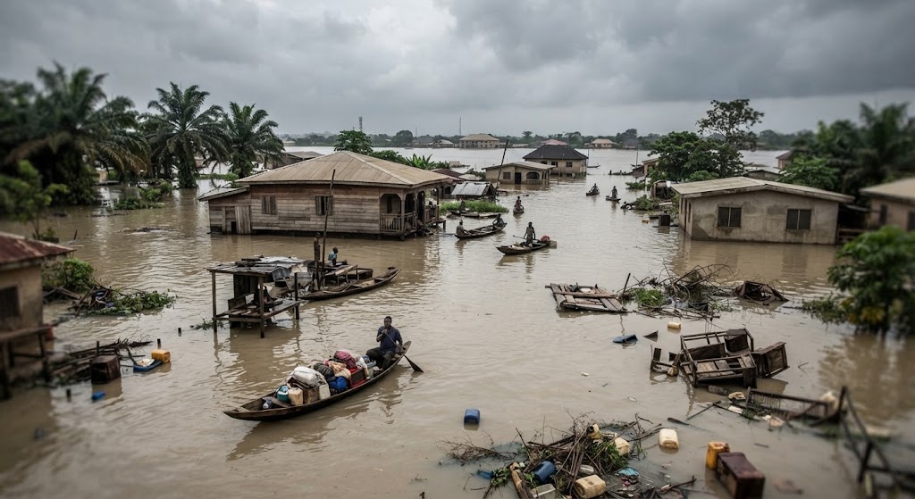
Flooding remains a recurring problem in parts of Anambra State, especially during periods of heavy rainfall and when water levels rise around the River Niger and other waterways.
In 2026, Anambra authorities and emergency agencies have continued to warn residents about flood risks across several parts of the state. The state’s location within the Niger Delta belt, combined with its riverine communities, drainage challenges and heavy seasonal rainfall, means some areas are more exposed than others.
Knowing which areas are more vulnerable can help residents prepare early instead of waiting until floodwater enters their homes or roads become impassable.
Towns and Areas in Anambra That Are More Vulnerable to Flooding
1. Onitsha
Onitsha is one of the areas that regularly comes up in discussions about flooding in Anambra.
The city’s location close to the River Niger and its highly developed urban environment make some parts vulnerable to flooding, particularly when heavy rainfall overwhelms drainage systems.
Recent research has also examined flood susceptibility in Onitsha North and Onitsha South because of their location within the Niger River catchment.
Residents should pay particular attention to drainage channels and avoid driving through flooded roads when water levels become dangerous.
2. Ogbaru
Ogbaru is one of the most exposed areas because of its riverine communities.
The 2026 flood outlook identified Ogbaru among Anambra’s high-flood-risk local government areas.
Communities close to rivers and low-lying areas can experience serious flooding when water levels rise. Farmers and residents in such locations should take official flood warnings seriously and prepare evacuation plans ahead of time.
3. Anambra East
Anambra East is another area that has a long history of exposure to flooding.
The area contains several communities located around the River Niger and Omambala River system. In 2026, Anambra East was again listed among the state’s high flood-risk LGAs.
Communities such as Umueri, Umueze Anam, Mmiata Anam and Nzam have previously been identified in government flood-resilience activities involving coastal communities.
4. Anambra West
Anambra West is another predominantly riverine part of the state that residents need to watch during the rainy season.
The area was included among the high-risk LGAs in the 2026 flood outlook.
Because some communities are located close to major waterways, rising river levels can become an additional threat when there is prolonged rainfall.
5. Ayamelum
Ayamelum was also identified as a high flood-risk LGA in the 2026 climate and flood outlook for Anambra.
The agricultural nature of many communities in the area means flooding can affect not only houses and roads but also farms, crops and livelihoods.
6. Ogidi
Ogidi, in Idemili North, has also experienced serious flooding.
In September 2026, the Anambra State Government reported that flooding made the Old Enugu-Onitsha Road around the Ogidi axis impassable following heavy rainfall. Residents said the problem has repeatedly affected movement during the rainy season.
This shows that flood risk is not limited to communities immediately beside major rivers. Heavy rainfall and inadequate drainage can also create severe flooding in urban and roadside areas.
7. Awka and Some Surrounding Areas
Awka and surrounding communities can also experience flooding during intense rainfall.
The 2026 flood outlook placed Awka North in the moderate-risk category. Recent flooding has also affected parts of the wider Awka area, including roads around the Isiagu-Nibo axis.
This means residents should not assume that being away from the River Niger automatically means there is no flood risk.
8. Ihiala
Ihiala has also appeared in flood-risk assessments for Anambra.
The area was listed among the high-risk LGAs in previous NEMA flood assessments, while the state’s 2026 outlook continues to identify several parts of southern Anambra as vulnerable to flooding.
Residents should particularly watch low-lying areas and roads where water tends to accumulate after prolonged rainfall.
9. Nnewi and Other Parts of Idemili
Nnewi and parts of the Idemili axis may also experience flooding, although the level of risk varies from one community and neighbourhood to another.
The 2026 outlook classified Nnewi North, Nnewi South, Idemili North and Idemili South among areas with moderate flood risk.
This is an important reminder that flood risk is not always the same across an entire town or local government area.
Why Some Parts of Anambra Flood More Easily
Flooding in Anambra does not have one single cause.
Several factors can combine to make an area vulnerable, including:
Heavy and prolonged rainfall
Rising river levels
Living close to rivers and floodplains
Blocked drainage channels
Poor drainage capacity
Building in low-lying areas
Poor waste disposal
Changes in the environment and climate
Water flowing from surrounding higher areas into lower communities
For riverine communities, rising water levels can be particularly dangerous. In September 2026, NEMA warned riverine communities across Anambra to remain vigilant and be prepared to move to higher ground if necessary as the River Niger level was being monitored.
Flooding Is Also a Public Health Concern
Flooding is not only about damaged houses, roads and farms.
Floodwater can contaminate wells and boreholes with sewage, chemicals and other pollutants. In August 2026, the Anambra State Government ordered testing of water sources in flood-affected communities including parts of Onitsha, Ogbaru, Ogidi, Nkpor and Obosi because of concerns about contamination.
This is why residents should be careful about drinking water from wells or boreholes that have been affected by floodwater.
What Residents in Flood-Prone Areas Should Do
People living in vulnerable areas should prepare before the water starts rising.
Keep important documents and valuables in waterproof containers, clear nearby drainage channels and pay attention to official warnings from emergency agencies.
During heavy rainfall, avoid attempting to cross rapidly moving floodwater, whether on foot or by vehicle. If authorities advise residents to relocate, it is safer to leave early rather than wait until roads become impassable.
The Anambra State Government has also advised residents to take flood predictions seriously and relocate from flood-prone areas where necessary.
Flooding remains a seasonal reality for several communities in Anambra State, but the level of risk differs from one location to another.
Areas such as Ogbaru, Anambra East, Anambra West, Ayamelum and parts of Onitsha are among those repeatedly identified as vulnerable, while other locations such as Ogidi, Awka, Nnewi and parts of Idemili can also experience significant flooding under certain conditions.
Residents should therefore avoid treating flood warnings as ordinary seasonal announcements. Early preparation, clean drainage systems, safe water practices and timely movement to safer locations can help reduce the effect of flooding on families and communities.